
雫石町 topographic map
Interactive map
Click on the map to display elevation.
About this map
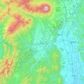
Name: 雫石町 topographic map, elevation, terrain.
Location: 雫石町, 岩手郡, 岩手县, 日本 (39.51772 140.77478 39.88625 141.06239)
Average elevation: 499 m
Minimum elevation: 89 m
Maximum elevation: 2,001 m
Other topographic maps
Click on a map to view its topography, its elevation and its terrain.