
岩手町 topographic map
Interactive map
Click on the map to display elevation.
About this map
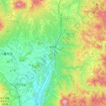
Name: 岩手町 topographic map, elevation, terrain.
Location: 岩手町, 岩手郡, 岩手县, 028-4303, 日本 (39.83410 141.12262 40.08070 141.43423)
Average elevation: 451 m
Minimum elevation: 180 m
Maximum elevation: 1,097 m
Other topographic maps
Click on a map to view its topography, its elevation and its terrain.