Geolocate

Portarlington topographic map

Interactive map

Click on the map to display elevation.

About this map

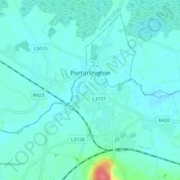
Name: Portarlington topographic map, elevation, terrain.

Location: Portarlington, County Laois, Leinster, Ireland (53.14533 -7.22178 53.17168 -7.15815)

Average elevation: 70 m

Minimum elevation: 62 m

Maximum elevation: 128 m

County Laois trails, hiking, mountain biking, running and outdoor activities

Other topographic maps

Click on a map to view its topography, its elevation and its terrain.

Knockardagur

Ireland > County Laois

Average elevation: 248 m

Sheffield Cross

Ireland > County Laois

Average elevation: 119 m

Newtown

Ireland > County Laois

Average elevation: 187 m

Glasha

Ireland > County Laois

Average elevation: 58 m

Cullenagh Mountain

Ireland > County Laois

Average elevation: 226 m

Portarlington

Ireland > County Laois > Portarlington

Average elevation: 72 m

Portlaoise

Ireland > County Laois > Portlaoise

Average elevation: 107 m

Timahoe Round Tower

Ireland > County Laois

Average elevation: 137 m