
Glasha topographic map
Interactive map
Click on the map to display elevation.
About this map
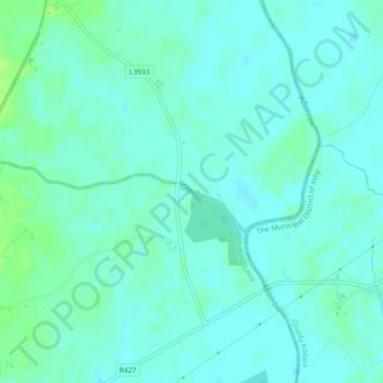
Name: Glasha topographic map, elevation, terrain.
Average elevation: 58 m
Minimum elevation: 54 m
Maximum elevation: 65 m
County Laois trails, hiking, mountain biking, running and outdoor activities
Other topographic maps
Click on a map to view its topography, its elevation and its terrain.
The Municipal District of Borris-in-Ossory — Mountmellick
Average elevation: 132 m
The Municipal District of Borris-in-Ossory — Mountmellick
Average elevation: 132 m
The Municipal District of Graiguecullen — Portarlington
Average elevation: 113 m
The Municipal District of Borris-in-Ossory — Mountmellick
Average elevation: 132 m