
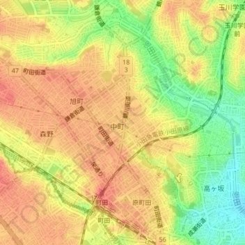
町田市立新中町平和公園 topographic map
Interactive map
Click on the map to display elevation.
About this map
Name: 町田市立新中町平和公園 topographic map, elevation, terrain.
Location: 町田市立新中町平和公園, 中町, 町田市, 东京都/東京都, 日本 (35.55167 139.44768 35.55204 139.44812)
Average elevation: 85 m
Minimum elevation: 49 m
Maximum elevation: 106 m
Other topographic maps
Click on a map to view its topography, its elevation and its terrain.