
白鳥湖 topographic map
Interactive map
Click on the map to display elevation.
About this map
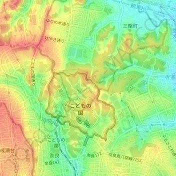
Name: 白鳥湖 topographic map, elevation, terrain.
Location: 白鳥湖, 三輪緑山一丁目, 町田市, 东京都/東京都, 日本 (35.56422 139.48955 35.56593 139.49282)
Average elevation: 53 m
Minimum elevation: 23 m
Maximum elevation: 80 m
Other topographic maps
Click on a map to view its topography, its elevation and its terrain.