
Tandikat-Singgalang topographic map
Interactive map
Click on the map to display elevation.
About this map
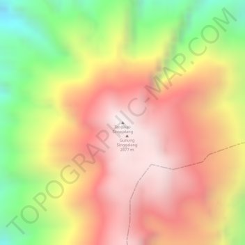
Name: Tandikat-Singgalang topographic map, elevation, terrain.
Average elevation: 2,435 m
Minimum elevation: 1,843 m
Maximum elevation: 2,842 m
Other topographic maps
Click on a map to view its topography, its elevation and its terrain.
Marapi
Indonesien > West-Sumatra > Bukittinggi
Marapi, Bukittinggi, Agam, West-Sumatra, Indonesien
Average elevation: 2,609 m