
Marapi topographic map
Interactive map
Click on the map to display elevation.
About this map
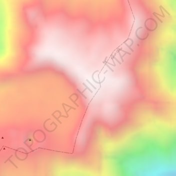
Name: Marapi topographic map, elevation, terrain.
Location: Marapi, Bukittinggi, Agam, West-Sumatra, Indonesien (-0.38105 100.47295 -0.38095 100.47305)
Average elevation: 2,609 m
Minimum elevation: 1,847 m
Maximum elevation: 2,875 m
Other topographic maps
Click on a map to view its topography, its elevation and its terrain.
Tandikat-Singgalang
Indonesien > West-Sumatra > Bukittinggi
Tandikat-Singgalang, Bukittinggi, Agam, West-Sumatra, Indonesien
Average elevation: 2,435 m