
二甲镇 topographic map
Interactive map
Click on the map to display elevation.
About this map
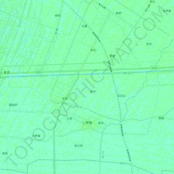
Name: 二甲镇 topographic map, elevation, terrain.
Location: 二甲镇, 通州区, 南通市, 江苏省, 226300, 中国 (31.99395 121.10756 32.09340 121.22607)
Average elevation: 5 m
Minimum elevation: 1 m
Maximum elevation: 7 m
Other topographic maps
Click on a map to view its topography, its elevation and its terrain.