
兜山 topographic map
Interactive map
Click on the map to display elevation.
About this map
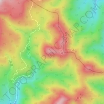
Name: 兜山 topographic map, elevation, terrain.
Location: 兜山, 酒田市, 山形县, 日本 (39.06818 140.11283 39.06828 140.11293)
Average elevation: 771 m
Minimum elevation: 549 m
Maximum elevation: 993 m
Other topographic maps
Click on a map to view its topography, its elevation and its terrain.