
西通川 topographic map
Interactive map
Click on the map to display elevation.
About this map
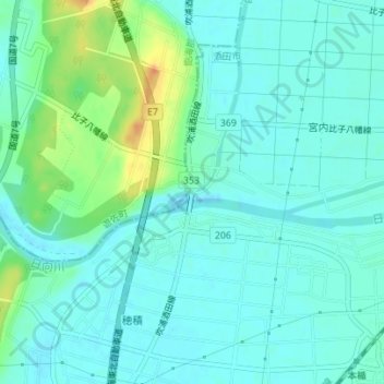
Name: 西通川 topographic map, elevation, terrain.
Location: 西通川, 酒田市, 山形县, 998-0005, 日本 (38.98067 139.86699 38.98070 139.86781)
Average elevation: 10 m
Minimum elevation: -1 m
Maximum elevation: 41 m
Other topographic maps
Click on a map to view its topography, its elevation and its terrain.