
身延町 topographic map
Interactive map
Click on the map to display elevation.
About this map
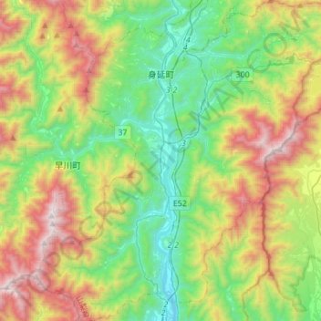
Name: 身延町 topographic map, elevation, terrain.
Location: 身延町, 南巨摩郡, 山梨县, 日本 (35.29554 138.33564 35.51923 138.60241)
Average elevation: 770 m
Minimum elevation: 123 m
Maximum elevation: 1,979 m
Other topographic maps
Click on a map to view its topography, its elevation and its terrain.