
山地 topographic map
Interactive map
Click on the map to display elevation.
About this map
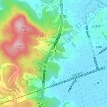
Name: 山地 topographic map, elevation, terrain.
Location: 山地, 倉敷市, 冈山县, 701-0104, 日本 (34.64707 133.79881 34.66017 133.82439)
Average elevation: 66 m
Minimum elevation: 0 m
Maximum elevation: 217 m
Other topographic maps
Click on a map to view its topography, its elevation and its terrain.