
大内 topographic map
Interactive map
Click on the map to display elevation.
About this map
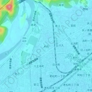
Name: 大内 topographic map, elevation, terrain.
Location: 大内, 倉敷市, 冈山县, 710-0817, 日本 (34.60286 133.75009 34.61069 133.75692)
Average elevation: 11 m
Minimum elevation: 3 m
Maximum elevation: 119 m
Other topographic maps
Click on a map to view its topography, its elevation and its terrain.