
活力岛 topographic map
Interactive map
Click on the map to display elevation.
About this map
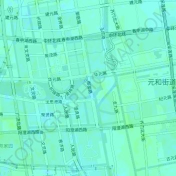
Name: 活力岛 topographic map, elevation, terrain.
Location: 活力岛, 水漾花城社区, 元和街道, 相城区, 苏州市, 江苏省, 中国 (31.36935 120.60487 31.37232 120.60916)
Average elevation: 4 m
Minimum elevation: 1 m
Maximum elevation: 7 m
Other topographic maps
Click on a map to view its topography, its elevation and its terrain.