
环秀湖 topographic map
Interactive map
Click on the map to display elevation.
About this map
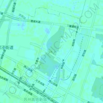
Name: 环秀湖 topographic map, elevation, terrain.
Location: 环秀湖, 北河泾街道, 相城区, 苏州市, 江苏省, 中国 (31.42752 120.63807 31.44098 120.64735)
Average elevation: 3 m
Minimum elevation: -1 m
Maximum elevation: 5 m