
津南町 topographic map
Interactive map
Click on the map to display elevation.
About this map
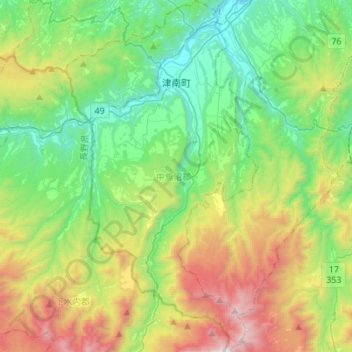
Name: 津南町 topographic map, elevation, terrain.
Location: 津南町, 中魚沼郡, 新潟县, 中部地方, 日本 (36.84523 138.56588 37.06544 138.71654)
Average elevation: 779 m
Minimum elevation: 156 m
Maximum elevation: 2,142 m
Other topographic maps
Click on a map to view its topography, its elevation and its terrain.