
苗場山 topographic map
Interactive map
Click on the map to display elevation.
About this map
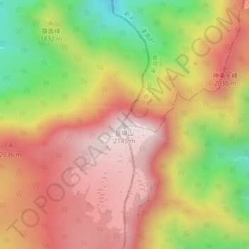
Name: 苗場山 topographic map, elevation, terrain.
Location: 苗場山, 津南町, 中魚沼郡, 新潟县, 日本 (36.84589 138.69027 36.84599 138.69037)
Average elevation: 1,844 m
Minimum elevation: 1,437 m
Maximum elevation: 2,145 m