
前进村 topographic map
Interactive map
Click on the map to display elevation.
About this map
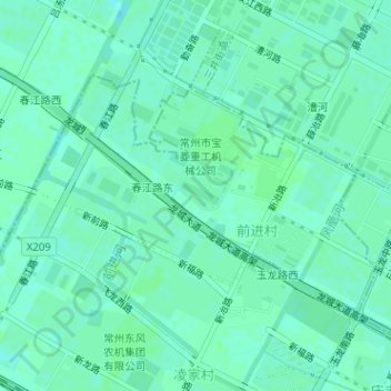
Name: 前进村 topographic map, elevation, terrain.
Location: 前进村, 新闸街道, 钟楼区, 常州市, 江苏省, 213000, 中国 (31.83465 119.87884 31.85130 119.90691)
Average elevation: 7 m
Minimum elevation: 3 m
Maximum elevation: 8 m
Other topographic maps
Click on a map to view its topography, its elevation and its terrain.