
南大街街道 topographic map
Interactive map
Click on the map to display elevation.
About this map
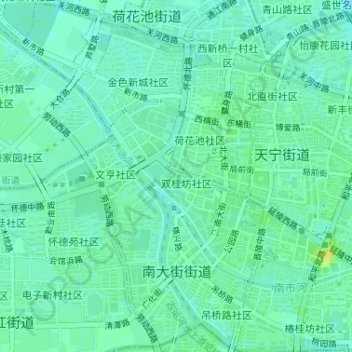
Name: 南大街街道 topographic map, elevation, terrain.
Location: 南大街街道, 钟楼区, 常州市, 江苏省, 213000, 中国 (31.76889 119.92151 31.79589 119.95394)
Average elevation: 8 m
Minimum elevation: 1 m
Maximum elevation: 22 m
Other topographic maps
Click on a map to view its topography, its elevation and its terrain.