
Qingjiang topographic map
Interactive map
Click on the map to display elevation.
About this map
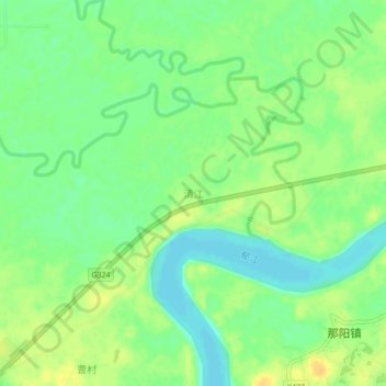
Name: Qingjiang topographic map, elevation, terrain.
Location: Qingjiang, Nanning, Guangxi, China (22.70110 109.28800 22.74110 109.32800)
Average elevation: 54 m
Minimum elevation: 41 m
Maximum elevation: 68 m
Other topographic maps
Click on a map to view its topography, its elevation and its terrain.