
Tunzhou topographic map
Interactive map
Click on the map to display elevation.
About this map
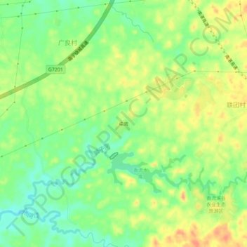
Name: Tunzhou topographic map, elevation, terrain.
Location: Tunzhou, Yongning District, Nanning, Guangxi, China (22.66104 108.52100 22.70104 108.56100)
Average elevation: 95 m
Minimum elevation: 74 m
Maximum elevation: 116 m
Other topographic maps
Click on a map to view its topography, its elevation and its terrain.
Long'an County
Long'an County, Nanning, Guangxi, China
Average elevation: 255 m