
连江县 topographic map
Interactive map
Click on the map to display elevation.
About this map
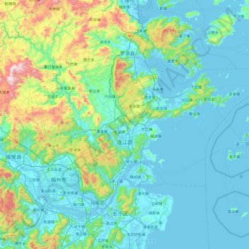
Name: 连江县 topographic map, elevation, terrain.
Location: 连江县, 福州市, 福建省, 350500, 中国 (26.05393 119.27643 26.46136 120.19009)
Average elevation: 206 m
Minimum elevation: -4 m
Maximum elevation: 1,363 m
Other topographic maps
Click on a map to view its topography, its elevation and its terrain.