
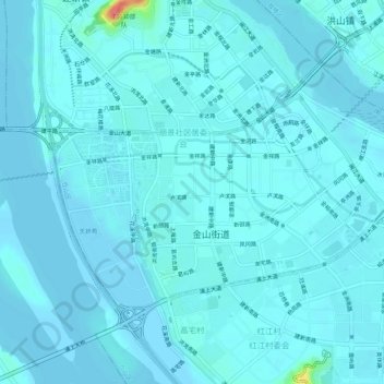
金山街道 topographic map
Interactive map
Click on the map to display elevation.
About this map
Name: 金山街道 topographic map, elevation, terrain.
Location: 金山街道, 仓山区, 福州市, 福建省, 350008, 中国 (26.03017 119.23001 26.06184 119.28298)
Average elevation: 6 m
Minimum elevation: 1 m
Maximum elevation: 70 m
Other topographic maps
Click on a map to view its topography, its elevation and its terrain.