
Ghergheasa topographic map
Interactive map
Click on the map to display elevation.
About this map
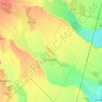
Name: Ghergheasa topographic map, elevation, terrain.
Location: Ghergheasa, Buzău, Romania (45.22404 27.11679 45.33215 27.24686)
Average elevation: 57 m
Minimum elevation: 31 m
Maximum elevation: 81 m
Other topographic maps
Click on a map to view its topography, its elevation and its terrain.
Râmnicu Sărat
Romania > Buzău > Râmnicu Sărat
Râmnicu Sărat, Buzău, 125300, Romania
Average elevation: 128 m