
Râmnicu Sărat topographic map
Interactive map
Click on the map to display elevation.
About this map
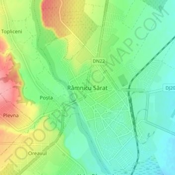
Name: Râmnicu Sărat topographic map, elevation, terrain.
Location: Râmnicu Sărat, Buzău, 125300, Romania (45.36255 27.02837 45.40844 27.07034)
Average elevation: 128 m
Minimum elevation: 97 m
Maximum elevation: 193 m