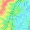
Chowder Bay topographic map
Click on the map to display elevation.
About this map

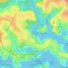
Name: Chowder Bay topographic map, elevation, terrain.
Location: Chowder Bay, Sydney, New South Wales, 2088, Australia (-33.84037 151.25398 -33.84027 151.25408)
Average elevation: 24 m
Minimum elevation: -2 m
Maximum elevation: 100 m
Other topographic maps
Click on a map to view its topography, its elevation and its terrain.
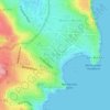
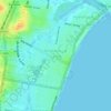
Penrith
Australia > New South Wales > Sydney > Penrith
Penrith is a city in New South Wales, Australia, located in Greater Western Sydney, 55 kilometres (31 mi) west of the Sydney central business district on the banks of the Nepean River, on the outskirts of the Cumberland Plain. Its elevation is 32 metres (105 ft).
Average elevation: 34 m






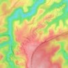








Wentworth Falls
Australia > New South Wales > Sydney
Wentworth Falls (postcode: 2782) is a town in the Blue Mountains region of New South Wales, situated approximately 100 kilometres (62 mi) west of the Sydney central business district, and about 8 kilometres (5.0 mi) east of Katoomba, Australia on the Great Western Highway, with a Wentworth Falls railway…
Average elevation: 708 m


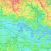
Lane Cove National Park
Australia > New South Wales > Sydney
The park includes areas of land which are part of Ku-ring-gai, Ryde, and Hornsby local government areas with small areas of the park in Willoughby, Lane Cove and Hunter's Hill local government areas on the banks of the lower reaches of the river. The park is surrounded on all sides by developed suburban areas…
Average elevation: 81 m





Sydney International Regatta Centre
Australia > New South Wales > Sydney > Penrith
Average elevation: 19 m






St Leonards Park
Australia > New South Wales > Sydney > North Sydney
In 2018 it was announced that North Sydney Council would commence an upgrade of the park including improving the war memorial with a reflection pool, restoration of the Tunks Fountain and elevation on a new plinth, new benches, picnic tables, barbecues and drinking fountains, upgrades to lighting, additional…
Average elevation: 61 m


Woodford
Australia > New South Wales > Sydney
Woodford is a village in the Blue Mountains in New South Wales, Australia, about 90 kilometres west of Sydney. Its elevation is 609 metres (1,998 ft) above sea level. It is situated on the Great Western Highway and has a railway station (opened in 1868 as Buss's Platform) on the Main Western railway line…
Average elevation: 544 m