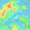
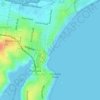
Glebe topographic map
Click on the map to display elevation.
Glebe
The land was not suited to farming because of its topography and soils and the first European associated with it, the Reverend Richard Johnson famously described his land as "four hundred acres not worth four pence". Despite its limited use for agricultural purposes the timber was a valuable raw material and by the 1820s at least a substantial portion of the land in the vicinity of the study area had been cleared and fenced ready for sale.
About this map
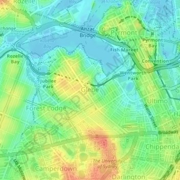
Name: Glebe topographic map, elevation, terrain.
Average elevation: 18 m
Minimum elevation: -10 m
Maximum elevation: 46 m
Other topographic maps
Click on a map to view its topography, its elevation and its terrain.




























Bents Basin State Conservation Area
Australia > New South Wales > Sydney
The park is popular for swimming, kayaking, bushwalking, camping (with 100 tent sites), barbecuing, picnicking and fishing. The park also features walking trails within a bushland and an education centre with a commercial kitchen. Caley's Lookout Track, a walking track within the bushland, leads to Little…
Average elevation: 82 m