
K12 topographic map
Interactive map
Click on the map to display elevation.
About this map
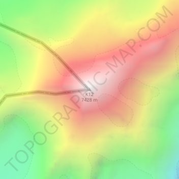
Name: K12 topographic map, elevation, terrain.
Location: K12, Nubra, Leh district, Ladakh, India (35.29540 77.02182 35.29550 77.02192)
Average elevation: 6,475 m
Minimum elevation: 5,415 m
Maximum elevation: 7,446 m
Other topographic maps
Click on a map to view its topography, its elevation and its terrain.
Karakoram Pass
Karakoram Pass, Nubra, Leh District, Ladakh, India
Average elevation: 5,521 m
Siachen Glacier
Siachen Glacier, Nubra, Leh district, Ladakh, India
Average elevation: 5,448 m
Daulat Beg Oldi
Daulat Beg Oldi, Nubra, Leh district, Ladakh, India
Average elevation: 5,085 m