
浪江町 topographic map
Interactive map
Click on the map to display elevation.
About this map
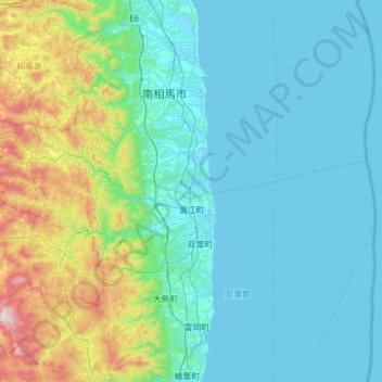
Name: 浪江町 topographic map, elevation, terrain.
Location: 浪江町, 雙葉郡, 福岛县, 979-1513, 日本 (37.41950 140.68367 37.61482 141.29516)
Average elevation: 188 m
Minimum elevation: -2 m
Maximum elevation: 1,171 m
Other topographic maps
Click on a map to view its topography, its elevation and its terrain.