
富岡町 topographic map
Interactive map
Click on the map to display elevation.
About this map
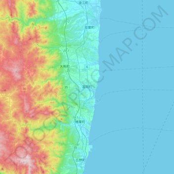
Name: 富岡町 topographic map, elevation, terrain.
Location: 富岡町, 雙葉郡, 福岛县, 日本 (37.30349 140.90077 37.38414 141.29051)
Average elevation: 164 m
Minimum elevation: 0 m
Maximum elevation: 835 m
Other topographic maps
Click on a map to view its topography, its elevation and its terrain.