
印南町 topographic map
Interactive map
Click on the map to display elevation.
About this map
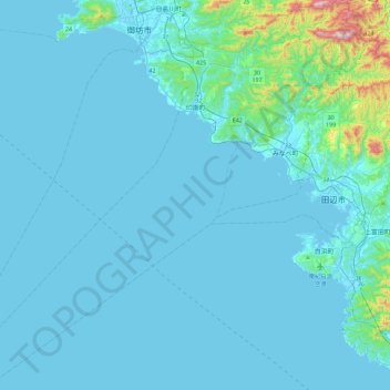
Name: 印南町 topographic map, elevation, terrain.
Location: 印南町, 日高郡, 和歌山县, 649-1534, 日本 (33.54318 134.97143 33.91919 135.40301)
Average elevation: 50 m
Minimum elevation: -1 m
Maximum elevation: 739 m
Other topographic maps
Click on a map to view its topography, its elevation and its terrain.