
下川山 topographic map
Interactive map
Click on the map to display elevation.
About this map
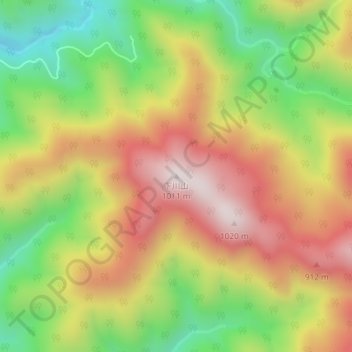
Name: 下川山 topographic map, elevation, terrain.
Location: 下川山, 新日高町, 日高郡, 日高振興局, 北海道, 日本 (42.53486 142.65172 42.53496 142.65182)
Average elevation: 645 m
Minimum elevation: 300 m
Maximum elevation: 986 m