
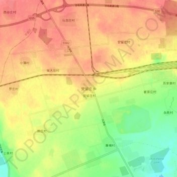
党留庄乡 topographic map
Interactive map
Click on the map to display elevation.
About this map
Name: 党留庄乡 topographic map, elevation, terrain.
Location: 党留庄乡, 大同市, 山西省, 中国 (39.94891 113.38298 40.02891 113.46298)
Average elevation: 1,024 m
Minimum elevation: 989 m
Maximum elevation: 1,047 m
Other topographic maps
Click on a map to view its topography, its elevation and its terrain.