
Jomala topographic map
Interactive map
Click on the map to display elevation.
About this map
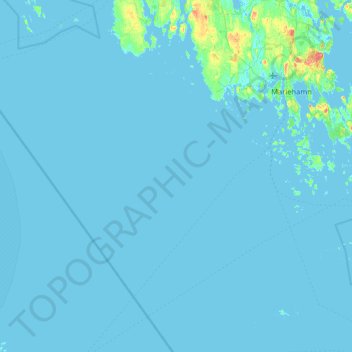
Name: Jomala topographic map, elevation, terrain.
Location: Jomala, Ålands landsbygd, Åland, Finland (59.79168 19.42352 60.21075 20.13347)
Average elevation: 2 m
Minimum elevation: -4 m
Maximum elevation: 71 m
Other topographic maps
Click on a map to view its topography, its elevation and its terrain.