
Storlandet topographic map
Interactive map
Click on the map to display elevation.
About this map
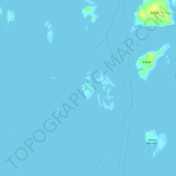
Name: Storlandet topographic map, elevation, terrain.
Location: Storlandet, Jomala, Ålands landsbygd, Åland, Finland (60.02746 19.88033 60.03134 19.88408)
Average elevation: 0 m
Minimum elevation: -4 m
Maximum elevation: 20 m