
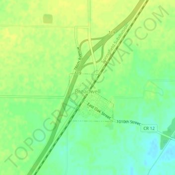
Broadwell topographic map
Interactive map
Click on the map to display elevation.
About this map
Name: Broadwell topographic map, elevation, terrain.
Location: Broadwell, Logan County, Illinois, United States (40.06343 -89.44707 40.07376 -89.43784)
Average elevation: 180 m
Minimum elevation: 169 m
Maximum elevation: 186 m
Other topographic maps
Click on a map to view its topography, its elevation and its terrain.
Atlanta
United States > Illinois > Logan County
Atlanta, Logan County, Illinois, United States
Average elevation: 218 m
Lake Fork
United States > Illinois > Logan County
Lake Fork, Logan County, Illinois, 62541, United States
Average elevation: 181 m
Lincoln
United States > Illinois > Logan County
Lincoln, Logan County, Illinois, 62656, United States
Average elevation: 178 m