Geolocate

Atlanta topographic map

Click on the map to display elevation.

About this map
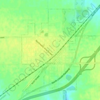
Name: Atlanta topographic map, elevation, terrain.

Location: Atlanta, Logan County, Illinois, United States (40.25205 -89.24339 40.27428 -89.21708)

Average elevation: 218 m

Minimum elevation: 206 m

Maximum elevation: 225 m

Other topographic maps

Click on a map to view its topography, its elevation and its terrain.

Lake Fork

United States > Illinois > Logan County

Average elevation: 181 m

Chestnut

United States > Illinois > Logan County

Average elevation: 188 m

Lake Fork

United States > Illinois > Logan County

Average elevation: 181 m

Gear up for your next adventure:

👣Orthopedic Boot Insoles - Extra comfort for long distance walking
🍽️Camping Utensil Sets - Complete eating sets
🛶Inflatable Touring Kayaks - Explore Irish loughs and coastal topography
🔦LED Flashlights - Bright, durable flashlights for outdoor use
🧣Multi-functional Neckwear - Protect against wind and sun with versatile Buffs

As an Amazon Associate, this site earns from qualifying purchases at no extra cost to you.