
马路村 topographic map
Interactive map
Click on the map to display elevation.
About this map
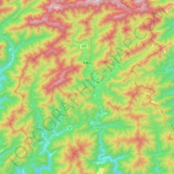
Name: 马路村 topographic map, elevation, terrain.
Location: 马路村, 安藝郡, 高知县, 日本 (33.52689 134.00693 33.69606 134.18417)
Average elevation: 689 m
Minimum elevation: 175 m
Maximum elevation: 1,401 m
Other topographic maps
Click on a map to view its topography, its elevation and its terrain.