
Dighinala topographic map
Interactive map
Click on the map to display elevation.
About this map
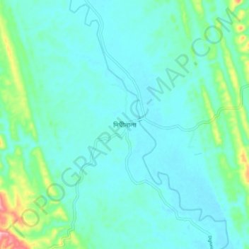
Name: Dighinala topographic map, elevation, terrain.
Average elevation: 63 m
Minimum elevation: 36 m
Maximum elevation: 195 m
Other topographic maps
Click on a map to view its topography, its elevation and its terrain.
Camp 10
Bangladesh > Chattogram Division > Rohingya Refugee Camp in Bangladesh
Average elevation: 12 m