
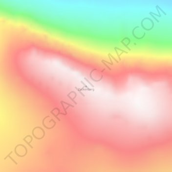
Zackenberg topographic map
Interactive map
Click on the map to display elevation.
About this map
Name: Zackenberg topographic map, elevation, terrain.
Location: Zackenberg, Greenland (74.49645 -20.77173 74.49655 -20.77163)
Average elevation: 892 m
Minimum elevation: 211 m
Maximum elevation: 1,324 m
Other topographic maps
Click on a map to view its topography, its elevation and its terrain.