
豐浦町 topographic map
Interactive map
Click on the map to display elevation.
About this map
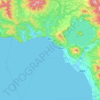
Name: 豐浦町 topographic map, elevation, terrain.
Location: 豐浦町, 虻田郡, 膽振綜合振興局, 北海道, 日本 (42.37001 140.50748 42.71796 140.76283)
Average elevation: 135 m
Minimum elevation: -2 m
Maximum elevation: 1,011 m
Other topographic maps
Click on a map to view its topography, its elevation and its terrain.