
Lyre topographic map
Interactive map
Click on the map to display elevation.
About this map
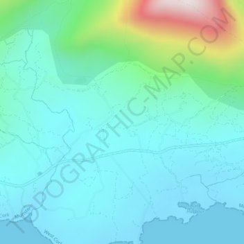
Name: Lyre topographic map, elevation, terrain.
Location: Lyre, Curryglass ED, West Cork, County Cork, Munster, Ireland (51.66576 -9.80831 51.67322 -9.79643)
Average elevation: 124 m
Minimum elevation: -3 m
Maximum elevation: 666 m
County Cork trails, hiking, mountain biking, running and outdoor activities
Other topographic maps
Click on a map to view its topography, its elevation and its terrain.