
Lonagh topographic map
Interactive map
Click on the map to display elevation.
About this map
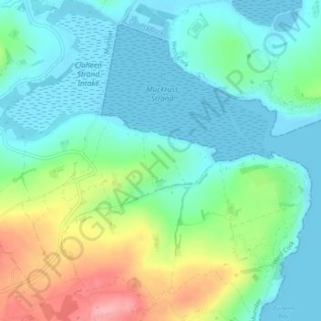
Name: Lonagh topographic map, elevation, terrain.
Location: Lonagh, Ardfield ED, West Cork, County Cork, Munster, Ireland (51.59021 -8.88895 51.59522 -8.88327)
Average elevation: 36 m
Minimum elevation: -2 m
Maximum elevation: 126 m
County Cork trails, hiking, mountain biking, running and outdoor activities
Other topographic maps
Click on a map to view its topography, its elevation and its terrain.