
Sheridan County topographic map
Interactive map
Click on the map to display elevation.
About this map
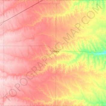
Name: Sheridan County topographic map, elevation, terrain.
Location: Sheridan County, Kansas, Stati Uniti d'America (39.13189 -100.72156 39.56846 -100.16345)
Average elevation: 840 m
Minimum elevation: 729 m
Maximum elevation: 919 m