Geolocate

南丰镇 topographic map

Interactive map

Click on the map to display elevation.

About this map

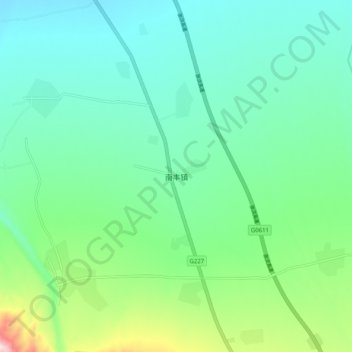
Name: 南丰镇 topographic map, elevation, terrain.

Location: 南丰镇, 民乐县, 张掖市, 甘肃省, 734500, 中国 (38.26468 100.85958 38.34468 100.93958)

Average elevation: 2,617 m

Minimum elevation: 2,487 m

Maximum elevation: 3,054 m

Other topographic maps

Click on a map to view its topography, its elevation and its terrain.

永固镇

中国 > 甘肃省 > 民乐县

永固镇, 民乐县, 张掖市, 甘肃省, 734500, 中国

Average elevation: 2,507 m

顺化镇

中国 > 甘肃省 > 民乐县

顺化镇, 民乐县, 张掖市, 甘肃省, 734500, 中国

Average elevation: 2,302 m

民乐县

中国 > 甘肃省 > 民乐县

民乐县, 张掖市, 甘肃省, 734500, 中国

Average elevation: 2,484 m