
Allegheny County topographic map
Interactive map
Click on the map to display elevation.
About this map
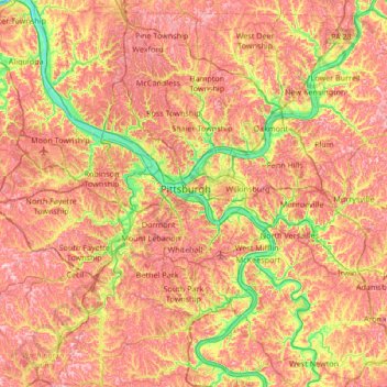
Name: Allegheny County topographic map, elevation, terrain.
Location: Allegheny County, Pennsylvania, Stati Uniti d'America (40.19434 -80.36087 40.67494 -79.68876)
Average elevation: 325 m
Minimum elevation: 204 m
Maximum elevation: 428 m