
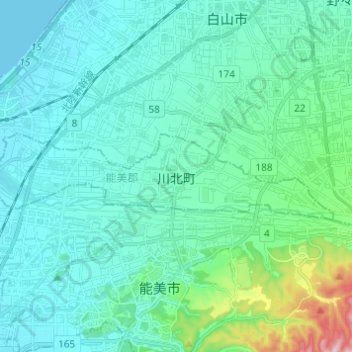
川北町 topographic map
Interactive map
Click on the map to display elevation.
About this map
Name: 川北町 topographic map, elevation, terrain.
Location: 川北町, 能美郡, 石川县, 中部地方, 日本 (36.45793 136.48072 36.48222 136.60284)
Average elevation: 42 m
Minimum elevation: 0 m
Maximum elevation: 278 m