
Malung-Sälens kommun topographic map
Interactive map
Click on the map to display elevation.
About this map
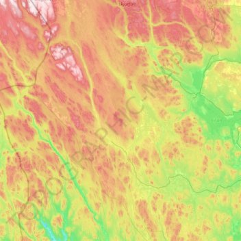
Name: Malung-Sälens kommun topographic map, elevation, terrain.
Location: Malung-Sälens kommun, Dalarna County, Sweden (60.17508 12.67023 61.52175 14.02037)
Average elevation: 395 m
Minimum elevation: 84 m
Maximum elevation: 1,043 m