
Peace topographic map
Interactive map
Click on the map to display elevation.
About this map
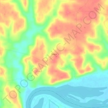
Name: Peace topographic map, elevation, terrain.
Location: Peace, Autauga County, Alabama, Stati Uniti d'America (32.38875 -86.79109 32.42875 -86.75109)
Average elevation: 71 m
Minimum elevation: 39 m
Maximum elevation: 102 m